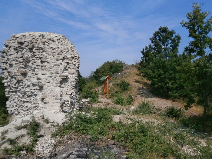
Our goal was to create a mountain biking tour, which leads you through Bükkalja while visiting the towns and castles of the region.
Technical parameters:
- 89 kilometers
- 2393 meters level rise
- 9 ‘must be visited’ sights
- 7 castles
- 1 recommended option
Conditions for completing the tour
There are 9 checkpoints on the tour that you need to take photos of, and you will find the answer to our 4 control question there. Make sure that your camera's date and time setting is ok and it shows the correct data.
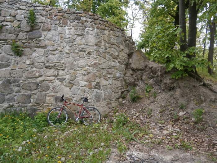
It is important to make all the photos of the checkpoint with your bicycle on the pictures
The route is mostly on dirt roads and should be taken on mountain or cross-country bikes. The roads are mostly two-lane type of roads. Watch out for the weather forecast as the muddy conditions can make the road very difficult.
The bicycle tour is not marked. You will need to use your ability to orientate yourself. It is recommended to have GPS, tourist map of Bükk and tourist map of Heves county. The tour touches 10 settlements. If you are not sure what to do, ask the locals!
You don't have to do the whole bike tour in one time, it is ok to stop the round tour at any checkpoint. Importantly, when the tour is interrupted and resumed, both times the checkpoint must be photographed.
The tour is not a star tour, the checkpoints must be visited one after the other. The tour can be completed clockwise or anticlockwise as well.
Things to do after completing the bicycle tour
After completing the tour, please send the photos of checkpoints and the answers of the questions to info@holkerekparozzak.hu. If your images are large in size, choose any file upload program.
We will notify you within two weeks whether we accept or decline your achievement. Successful execution requires the presence of all photos, the correct setting of the camera's time and date, and the correct answer to the verification questions.

- The ones who completed the tour are entitled to a unique commemorative sheet which will be emailed to them.
- Furthermore, their name will appear on the name list of people who completed the tour on the webpage.
- Multiple fulfillment and one-day fulfillment are marked separately on the webpage.
The route
(Miskolc) Diósgyőr- Kisgyőr- Latorút- Kács- Cserépváralja- Cserépfalu- Bükkzsérc- Bogács- Szomolya- Eger
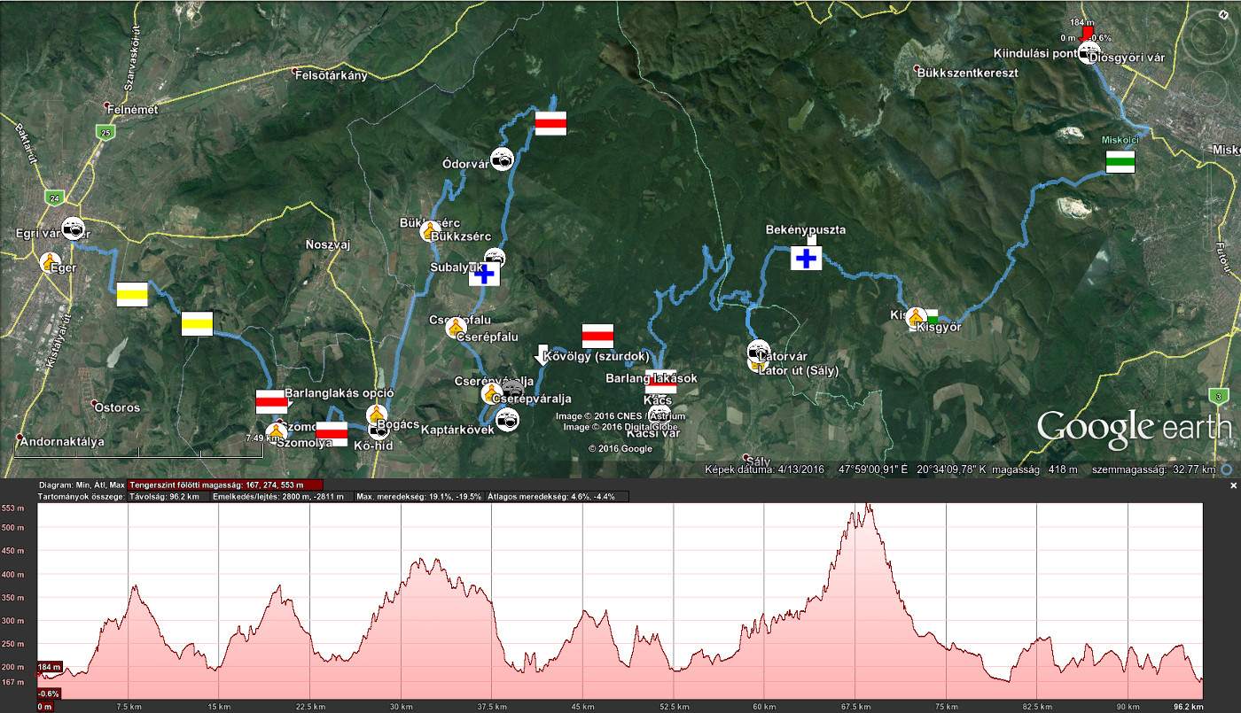
Important
We reserve the right to change this route. However, if someone started the tour in a previous version, we will accept their tour in the version of the pre-change route. This can be verified by the time setting of the start photo or the setting of the exact date in the camera's memory.
Checking points
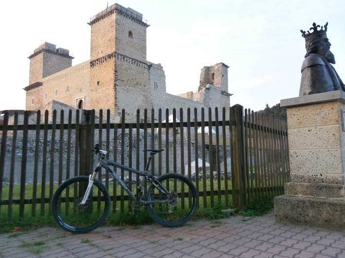
1. Diósgyőr Castle
1. Question: Which king appears on the statue in front of the castle?
2. Őrs úr Castle (Őrs úr vára) és Latorvár (Lator Castle)
2. Question (only for Hungarians): With which name was Latorvár marked in a survey from 1777? (Answer is on the information board!)
3. Kácsi Castle (Kácsi vár)
4. Cserépi Castle (Cserépi vár)
3. Question (only for Hungarians): From when have been the archaeologists from Miskolc excavating the castle? (Answer is on the information board!)
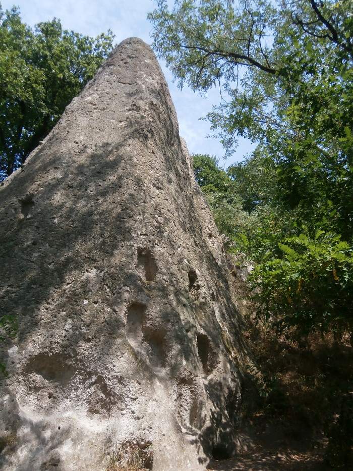
5. Hive stone (Kaptárkő)
4. Question (only for Hungarians): How many hive stones are at the border of the village? (Answer is on the information board!)
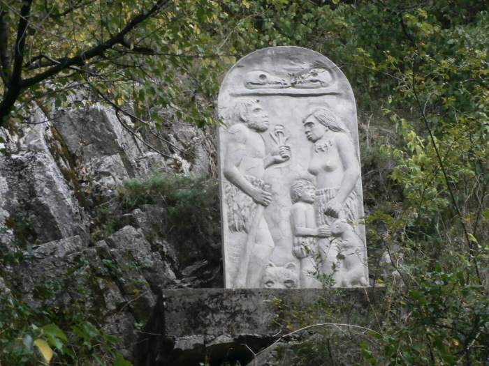
6. Subalyuk
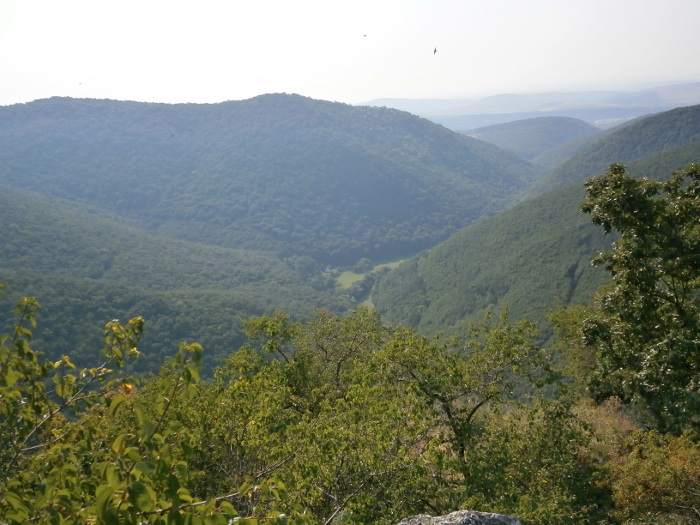
7. Ódor Castle (Ódorvár)
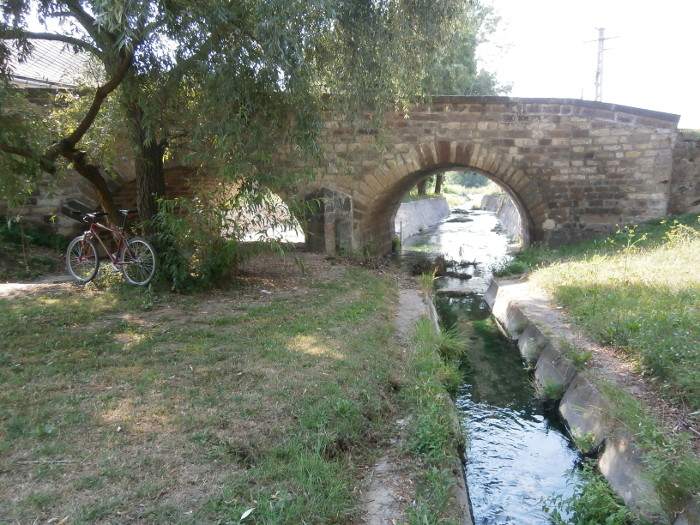
8. Stone bridge of Bogács (Bogács kőhídja)
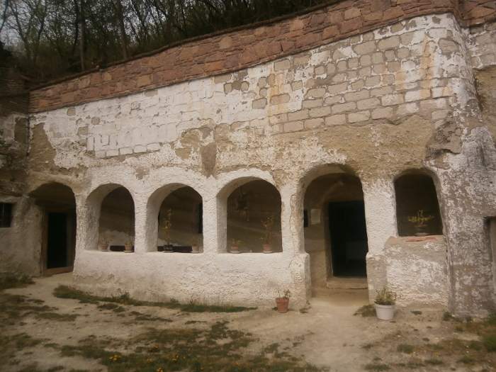
+1 option: Szomolya cave house
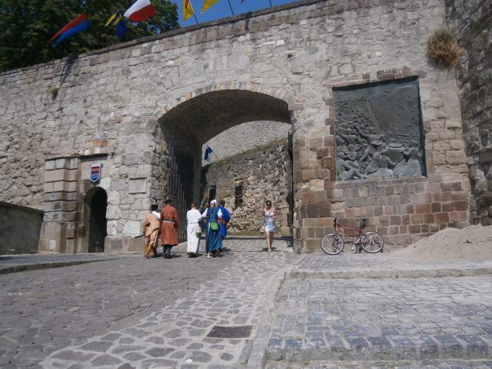
9. Eger Castle (Egri vár)
Description of the route
| 0 km |
We start our journey in the Diósgyőr part of Miskolc at the Diósgyőr Castle (Photo). From the Komlóstető part of the town we continue follow the green hiking road, on a dirt road. We follow the sign to Kisgyőr. |
| 14 km |
We reach Kisgyőr at the cemetery. We cross the town as we continue going on the green sign. There were many earth castles in the area, but today their remains are so characterless that we miss out them from our journey. Turn left from the green sign road at the foot of Kerekhegy. This is easy to recognize because we can see at the T-junction the foundations of a building. From here, we follow the unmarked road through the valley of the Csincse Creek to the Visitor Center of Bekénypuszta. |
| 19 km |
In Bekénypuszta, we quickly cross the Blue Cross sign and then we cycle on the asphalt road to the next settlement. |
| 25 km |
Lator Road is located at the site of an ancient settlement. Here, after the Hungarian Conquest, was the center of the estates of Örs Chief. Above the settlement there is a leader's castle on Latorhegy, the hill, also a much later castle, the remains of a Lator castle. (Photo) Leaving the hill, we continue our tour following the yellow sign until we reach Kács. |
| 41 km | Here we arrive at another castle, or not really a castle, just the lookout tower on the ruins of what the sprouts overgrown. Along our way to the castle there are abandoned cave houses. To reach the castle turn Dózsa György Road from the main road. Turn left from this road before the stream (Castle Road). This road will take us to the castle. We cycle back to the main road, then we head north on it until we reach the red tourist road. Walking through this we reach the foot of the Cserép Castle. The road we recommend is different, it goes up on an unmarked road, after Kács take to the left to the mountain, then turn right at the T-junction and after a few km we reach the red mark. This road is better to cycle. We pass through the Gorge of Kővölgy. This is the only non-cycling part of our tour, but the scenery is worth the pushing of our bikes here. |
| 50 km |
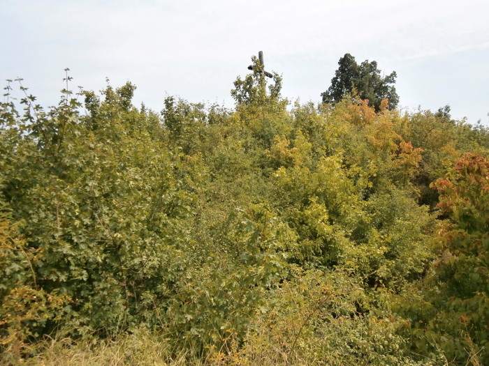
Cserép Castle is located above the village. It is a relatively well-kept little castle. (Photo) |
| 52 km |
After visiting the castle, before we cycle down the asphalt road to the settlement, we visit the hive stone here. (Photo) |
| 54 km |
Cserépváralja is a quiet little village in the valley. From here, there are two ways to get to Cserépfalu. An asphalt road starts in the northern part of the village, or a dirt road, which has approx. a medieval start and a on a narrow road we climbe a small hill, passing through a pine forest (Kossuth Road and at the end of the road up the hill). |
| 58 km |
Passing through Cserépfalu, we reach the gate of the Hór-völgy, where a relatively new visitor center has been built. |
| 59 km |
We arrive at Subalyuk after Cserépfalu. This is the first sight of the entrance to the Hór-völgy (völgy means valley). It was named after a local outfitter, Suba Mihály. (Photo) |
| 69 km |
At first, we cycle a slight slope up the valley - sign of the Blue Cross - and after reaching the Hosszú-völgy, after the rest house the KSH, we begin to climb up on our bikes from the valley to the highest point of our cycling tour to Ódorvár. There is a wide unmarked serpentine road that leads us there. |
| 73 km |
We cycle down from the castle on an unmarked dirt road that ends up in a forest asphalt road. We turn left on this and we get to Bükkzsérc. |
| 80 km |
We reach Bogács on a long slope road (There is no signal on the road, you have to rely on GPS or map. If we pass the football field from right hand, then we are on the proper road.) We take pictures again in the village, on an old stone bridge on Ady Endre Road. We continue on Kossuth Road and at the end of the road, we cycle up an unmarked two-lane road in the woods. At the side of the mountain, we turn left at the edge of a clearing and we follow the path until the red tourist sign appears. Turning right, we get to Szomolya after cycling through a very pleasant part. |
| 85 km |
(Optional: From Szomolya's sights we will have a look at the cave houses that open from Hunyadi Road.) We leave the town at the red tourist sign and then we switch to the yellow sign on an old cart road and we cycle on it until we reach Eger. Over hundreds of years of use, the road has sunk into the soft tuff several meters deep. |
| 96 km |
Reaching Eger and the Eger Castle means that we arrived at the end of our bicycle tour. (Photo). |

