
- Distance of tour : 177 km
- Levels : +1119 m,-1118 m
- Average slope: 0.8 %
- Distance of tour : 177 km
- Hardness of tour : Közepes
- Levels : +1119 m,-1118 m
- Average slope: 0.8 %
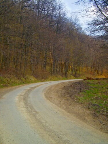
We go around Cserehát and Pilis-Visegrádi hegység starting from Budapest. Between Göd and Verőce there is a bike way, on other parts our way goes on main roads of which number 2 and 10 has heavy traffic on weekdays, and middle traffic on weekends. Recommended only for bikers highly confident in traffic. Various, nice terrain, because of length and rising good physical condition is a must also to accomplish. At a shorter period it goes through Slovakia, therefore passport of ID is needed, also a bit of euro can be useful to carry for beer in Párkány (Sturovo).
From Budapest (the track starts and ends at Városliget) go to Dunakeszi, Vác, Verőce. On the way to Dunakeszi first heading to Fót, than after the overhead bridge of highway M0, go out in the second exit of the roundabout, then through Alagi major to Dunakeszi. From Dunakeszi on the bike way to Vác and then Verőce.
At Verőce at the sculpture with horse turn right heading to Magyarkút, cross the railway at the underpass. Close to the border of the village, after crossing the railway a second time, turn right heading to Szendehely. Beside main road the terrain is beautiful various, on the right there is a memorial church for all religions, open in any time (http://gpsgames.hu/jatek/pontkereses/2573/karpat-haza_temploma_gckht/). Before Szendehely-Katalinpuszta, the way joins in the main road number 2, there turn left and follow the main road number 2. On the long upward slope there is a track for the slower vehicles. After Rétság, go out from the roundabout at 9 o’clock direction to main road number 2. After Borsosberény and Nagyoroszi, Parassapuszta follows, there turn left to Szob. Than Bernecebaráti and Kemence comes, with a long straight way lifting up and down, who gathers enough momentum at the downwards slopes can fly all the way! Through Vámosmikolán and Ipolytölgyesen we arrive to Letkés, where you have to watch up while the board signs to the way to Ipolyszalka (Salka), through the bridge above river Ipoly is not really markable. This way we follow through Ipolyszalka to Párkány (Stúrovo). Before reaching it we have to go on the way curving up the hills. It is easy to find the bridge at Párkány. From Esztergom go heading to Dorog only till Esztergom-Kertváros, there go out from the roundabout at nine o’clock direction onto the way going outside the town. Passing by Kesztölc at the railway crossing (traffic lights, barriers) turn left, onto the main road number 10. Follow that road to Budapest, through Leányvár, Piliscsaba, Kopár-hágón (last upwards slope) and Pilisvörösváron.
Ajánlott kiadványok
 Turistatérképek |
 Túrakalauzok |