
- Distance of tour : 96 km
- Levels : +1067 m,-1067 m
- Average slope: 1.5 %
- Distance of tour : 96 km
- Hardness of tour : Közepes
- Levels : +1067 m,-1067 m
- Average slope: 1.5 %
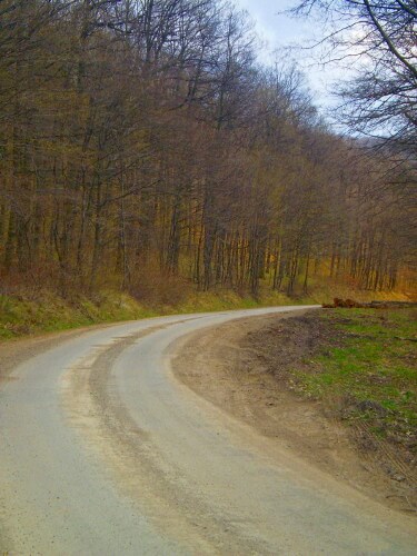
The bike tour goes through the Gödöllői dombság, Gödöllő hills, and partly through the Cserhát hills, on ways with low traffic. It starts at Veresegyháza, and builds up from five parts.
The first part goes through Veresegyház, Erdőtelkes, Vácegres, Gaggamácsa settlements.
The second part goes till Nógrádkövesd. Beside the stream Galaga, ride on the way which connects Balassagyarmat with Aszód, through settlements: Galgagyörk, Püspökhatvan, Acsa, Galgaguta.
The third part goes till Bánk, with touching Szécsénke, Kétbodony, Romhány settlemets. Bánk is the most beautiful part of our tour. From there within a few kms you can find Rétság, the biggest settlement of the roundabout area.
In the fourth part you will meet larger upward and downward going slopes. Riding through Alsópetény, Keszeg, Penc and Rád villages our way goes till highway M2. Far away we can see Vác, but with a left turn, we continue to go beside highway M2 heading Vácduka.
The last part goes through Vácduka, Vácrátót, Őrbottyán settlements, back to Veresegyháza.
This part is an easy, sloping end of the journey.
Ajánlott kiadványok
 Turistatérképek |
 Túrakalauzok |