
- Distance of tour : 46 km
- Hardness of tour : Könnyű
- Levels : +1265 m,-1267 m
- Average slope: 3.7 %
Before you start...
Cycling in the forest is regulated by the law, and these rules can
change. Before you go on your hiking or riding tour, please check current forest law and start riding only if it is permitted.
- Distance of tour : 46 km
- Hardness of tour : Könnyű
- Levels : +1265 m,-1267 m
- Average slope: 3.7 %
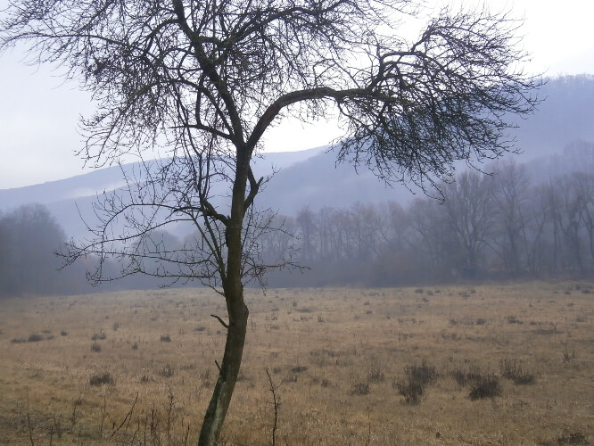
The cycling tour in Eger starts at the back entrance of the castle from Bástya Road. Through Gárdonyi Street and Oltai István Street we reach Bonát Street, from where we continue to follow the blue bicycle sign. On our way, we will pass by Nagy-Eged from the north, then the blue bike sign takes its way onto the mountain and we climb up on the blue circle signed road to Tiba-kút. From the fountain we move on the red circle signed road to the red triangle signed road. The road leads us to Dobó István Lookout (Dobó István kilátó) on the perk of Nagy-Eged. It's worth a look because the panorama is spectacular and speaks for itself.
On the way back we reach the red hiking sign which leads us to Várkút. From here we follow the green cycling sign to the Kövesdi lookout tower, which offers a beautiful view of the Alföld below us. In fine weather you can see the landscape up to the Tisza. Further up the slope we reach the Völgyfőház.
Continuing on the red L signed road, we climb up on a one-sign road to Ódorvár. From the castle we roll down on an unmarked forest road to the Török-rét. We cycle straight through the meadow. (Be careful not to keep to the right, as this will get us back to the Völgyfőház.) Our road here is not of the highest quality. Take care of the wild rose that hangs in our way. The road ends on an asphalt road, where we turn left to get to Bükkzsérc.
We leave the village on Rákóczi Road. (Be careful not to turn left towards Cserépfalu, but keep straight further.) The road continues on a dirt road to Bogács.
In the centre of the town we will find the red hiking sign, on which we continue our trip. Szomolya is the next settlement we cross, then about half way towards Eger the yellow sign joins our road. Following this sign, we arrive back to Eger via Merengő Road. From here it is only a few kilometres and we reach our starting point on Bástya Street.
Ajánlott kiadványok
 Turistatérképek |
 Túrakalauzok |
Támogasd a működésünket
Ha tetszett a cikk, kérlek támogasd a munkánkat önkéntes adománnyal a Revolutos számlánkra bankkártyás fizetéssel. Ezáltal még több hasonló cikket fogunk tudni készíteni a szórakoztatásodra.
Hogyan működik az adományozás?
Köszönjük!